The journal

A journey to Italy

London to the Bay of Naples by rail, and home again over the Alps — nine stops through eight cities. Each one has its own map plate, room for a video, and a write-up of the days spent there.

  1. Street map of the City of London, United Kingdom
    Stop 1United Kingdom

    City of London

    Where it starts and ends, on the tidal Thames.

    51.5156° N / 0.0920° W

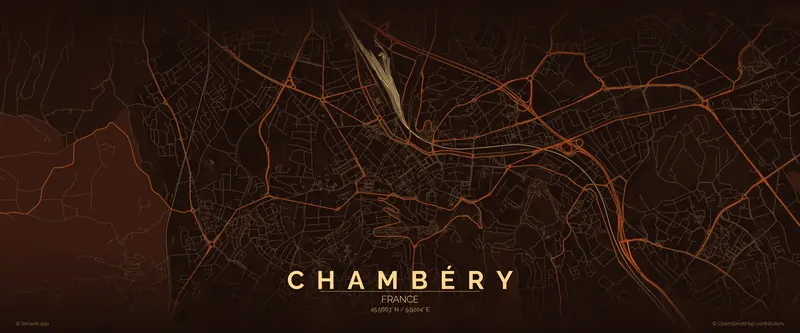
  2. Street map of Chambéry, France
    Stop 2France

    Chambéry

    One long day of rails from London, changing trains in Paris — into the Alps, at the foot of the Bauges and the Chartreuse.

    45.5663° N / 5.9204° E

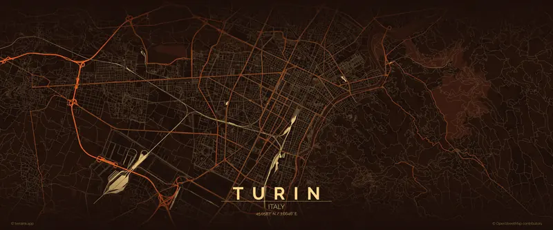
  3. Street map of Turin, Italy
    Stop 3Italy

    Turin

    First stop in Italy — arcades, grid streets and the Po.

    45.0587° N / 7.6646° E

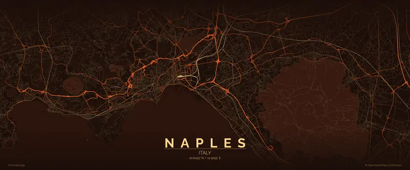
  4. Street map of Naples, Italy
    Stop 4Italy

    Naples

    The bay, the volcano, and the loudest streets on the route.

    40.8455° N / 14.3055° E

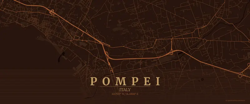
    Day trip Pompei

    A Roman street plan preserved under Vesuvius.

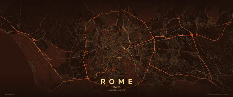
  5. Street map of Rome, Italy
    Stop 5Italy

    Rome

    Seven hills, and layers of city stacked on each other.

    41.8935° N / 12.4870° E

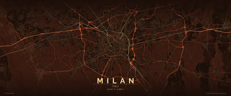
  6. Street map of Milan, Italy
    Stop 6Italy

    Milan

    Lombardy’s ring-road city, wrapped around its cathedral.

    45.4642° N / 9.1896° E

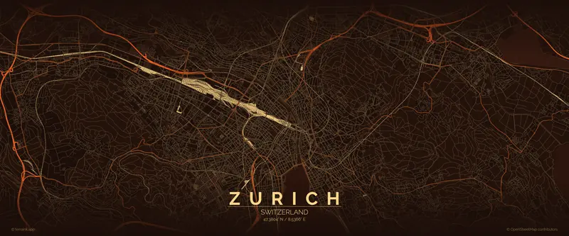
  7. Street map of Zurich, Switzerland
    Stop 7Switzerland

    Zurich

    Turning north for home, through the Alps by rail.

    47.3804° N / 8.5366° E

The way home

  1. Street map of Paris, France
    Stop 8France

    Paris

    A proper stop in Paris at last, on the way home.

    48.8535° N / 2.3484° E

  2. Street map of the City of London, United Kingdom
    Stop 9United KingdomHome

    City of London

    Back where it started, under the Channel one more time.

    51.5156° N / 0.0920° W

Animated leg maps — graphics for your videos →